
Posted on October 22, 2026 by Klesse College Staff
Conversations with SA+P School Director Michelangelo Sabatino, PhD
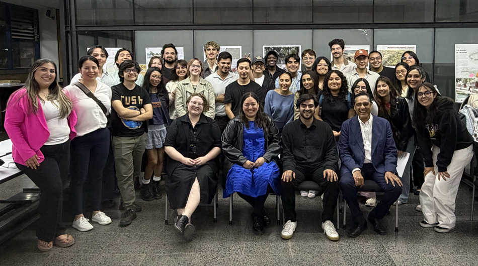
UT San Antonio and UNAM students and faculty gather during the “Between Two Waters” international studio collaboration in Mexico City. The workshop brought together architecture, urban planning, and landscape architecture students to explore the Río Magdalena as an ecological, cultural, historical, and urban system.
Studio Brief
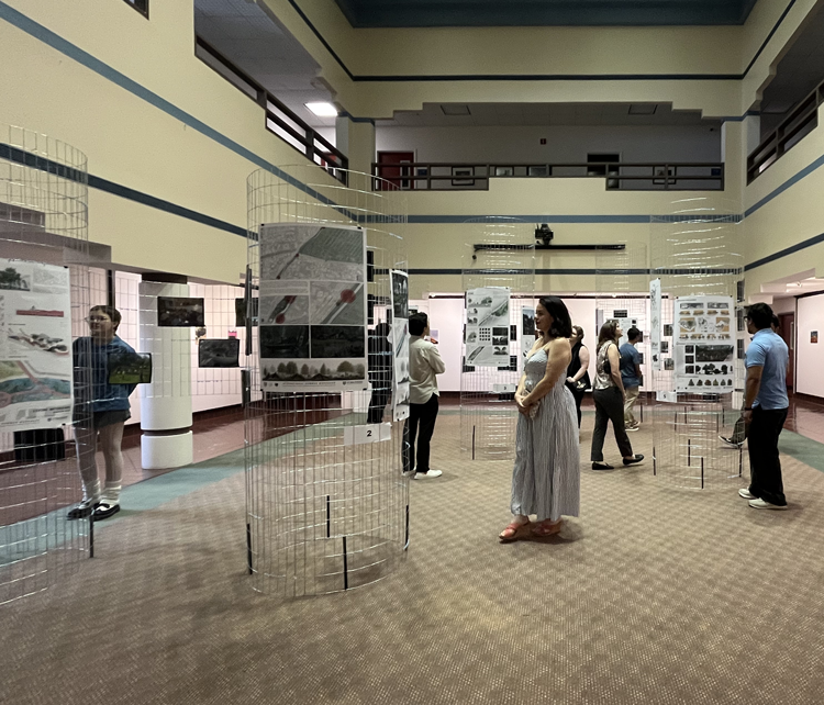
As part of an international workshop held this past June, SA+P Architecture and Urban Planning graduate students spent two weeks researching the relationship between San Antonio’s built environment and water before traveling to Mexico City to collaborate with 19 students and 6 faculty from the Universidad Nacional Autónoma de México (UNAM). Prof. Mauricio Avendaño (Architecture) with the support of Prof. Sarah Serpas (Urban Planning), led the UT San Antonio students, who were provided scholarships by the Carlos and Malú Alvarez International Study Fund Program. In Mexico, UTSA and UNAM students and faculty spent three weeks working in teams exploring the Río Magdalena, Mexico City's last open river corridor. The studio teams produced projects investigating water as an ecological system as well as a cultural, historical, and urban framework. The exhibition “Between Two Waters” of student-produced design work is currently on display at UNAM San Antonio (Hemisfair Plaza) from September 4th to October 9th. The exhibition will move to the 10th Floor Gallery at One Riverwalk Place starting October 19th.
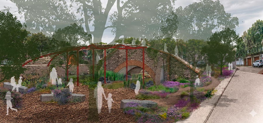
Conversations with SA+P School Director Michelangelo Sabatino
1. As future urban planners and architects, how did your summer study abroad in Mexico City change the way you think as a student and future professional?
Natalie Sanchez: As an urban planning student it reminded me that you cannot completely understand a place from behind a computer screen. I started to pay much more attention to the human side of planning. I found myself constantly asking “what is this place like for the people living here?”
Levi Sullivan: My perspective was broadened as an architecture student. Our studio design project based upon water expanded my understanding of how San Antonio must adapt its approach to development as water becomes a scarce resource.
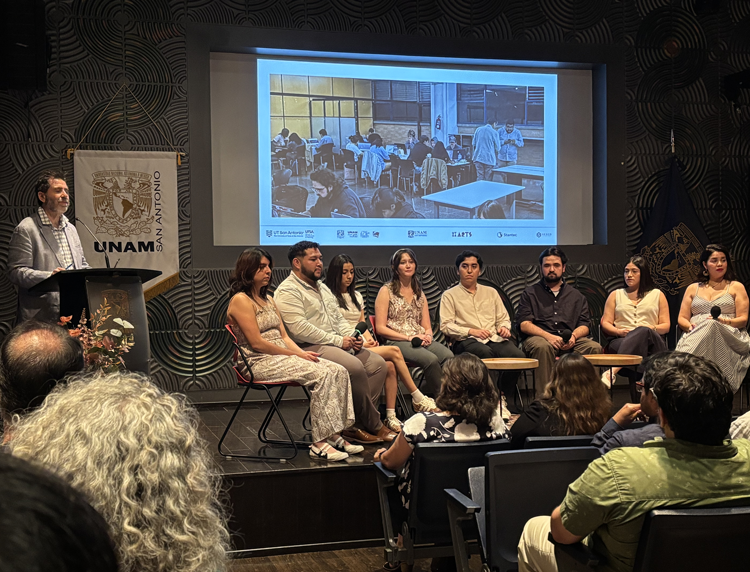
2. How was your experience working with students from the UNAM with different training, backgrounds and career goals?
Natalie Sanchez: I realized that even though we were standing in the same place we were looking at things differently. I learned what landscape architects see from interacting with UNAM landscape students and faculty, and I learned how to appreciate the built form through my interactions with architecture students.
Levi Sullivan: Working with the UNAM students allowed me to adapt my approach to work with a group of new peers and professionals. For lack of better words, there was friendly and productive competition.
3. As your first visit to Mexico City, what do you feel San Antonio can learn from Mexico City and vice versa?
Natalie Sanchez: One thing that surprised me was that going to Mexico City made me think differently about San Antonio and our own relationship with our water systems especially from the community perspective.
Levi Sullivan: Both cities have such a different approach to how to manage water. The amount of remediation that Mexico City is doing to make their waterways healthier and bring back endangered species is something San Antonio should also be working to achieve.
— Klesse College Staff
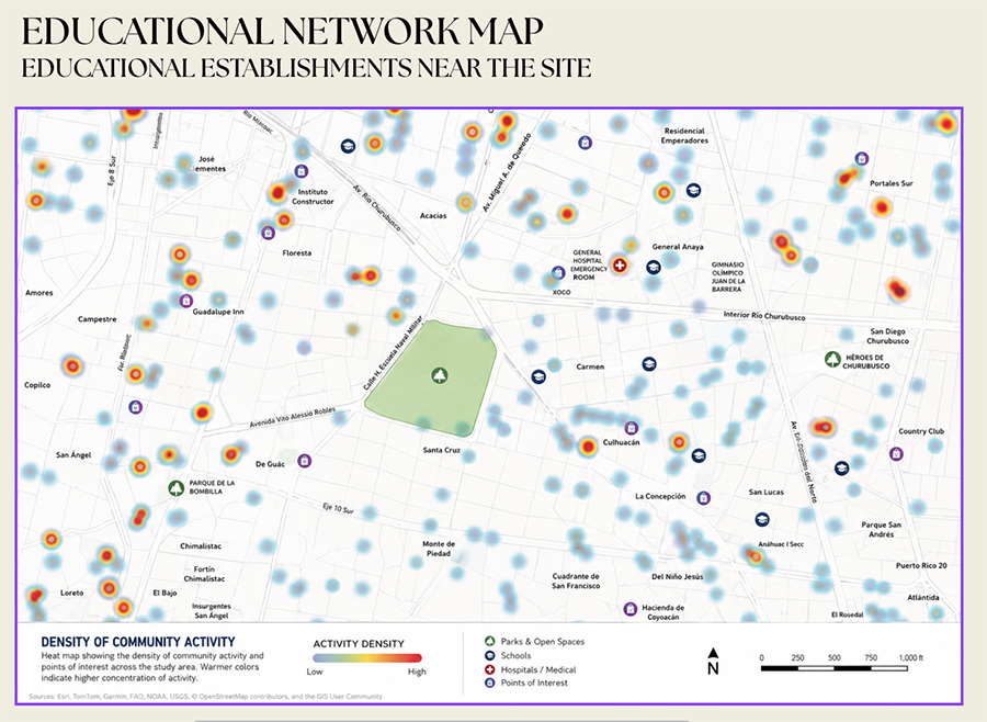
Educational Network Map
This map illustrates the density of community activity and the distribution of educational institutions and other points of interest near the project site. Warmer colors (yellow, orange, and red) indicate areas of higher activity density, while cooler blue areas indicate lower activity density. Symbols identify schools, parks and open spaces, hospitals and medical facilities, and other points of interest. The map also identifies nearby neighborhoods and landmarks, including General Hospital Emergency Room, Gimnasio Olímpico Juan de la Barrera, and Parque de la Bombilla. A legend, north arrow, and scale bar provide additional geographic context.
