A Taxonomy of Vacancy

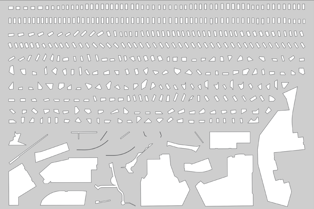
 The research team will create a taxonomy of vacant or underutilized parcels, establishing parameters related to size, cost, zoning, location, and use. © Ian Caine, J. William Arch, Melanie Bartholomew, Devon Duffin, Phuoc Luu, Diana Rodriguez, Evey Santillan, and Michelyn Smith.
Project Team
Principal Investigator:
Ian Caine, Associate Professor, Director, Center for Urban and Regional Planning Research
Researchers:
Rudy Niño, Jr., AICP, Interim Director, Planning Department, City of San Antonio
Wei Zhai, PhD, Assistant Professor, Urban Planning
Esteban López Ochoa, PhD, Assistant Professor, Urban Planning
Chris Quattro, Assistant Professor, Planning, Appalachian State University
Meesha Afkami, Research Assistant
Andrea Albarrán Montes, Research Assistant
Project Sponsor:
SOM Foundation
City of San Antonio
Project Description
This research project seeks to counteract the geographic expansion of San Antonio, Texas, by quantifying vacant or underutilized parcels along commercial strips and proposing their redevelopment with multifamily, infill housing. This research project coincides with current efforts to accommodate an expected influx of over one million people into Bexar County over twenty-five years, requiring the creation of 500,000 new housing units.
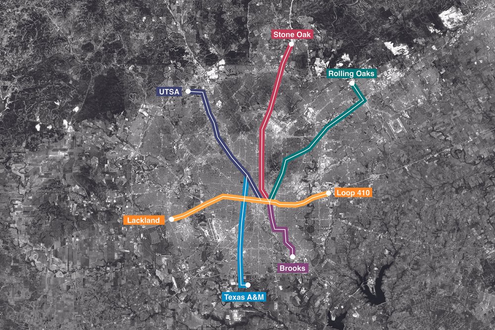
The research will proceed in two phases. First, the team will utilize quantitative methods to create a taxonomy of vacant or underutilized land parcels, focusing on seven commercial strips that align with future transit lines in the City’s SA Tomorrow Comprehensive Plan and VIA Metropolitan Transit's 2040 Long Range Plan. Second, graduate students in architecture will utilize design methods to generate new, affordable, sustainable multifamily housing prototypes that respond to evolving economic, programmatic, and demographic conditions along the seven commercial strips.
Collaborating Research Lab:


